


























Gua merupakan lubang alami di bawah tanah yang dapat dimasuki manusia dan sangat rentan terhadap perubahan yang dapat mengakibatkan kerusakan ekosistem. Seseorang yang ingin melakukan kegiatan pemetaan gua perlu mempelajari teknik-teknik pemetaan gua, memiliki pengetahuan yang memadai tentang kondisi lingkungan gua, memiliki cukup pengetahuan dan keterampilan untuk dapat melakukan penelusuran gua secara aman, baik bagi dirinya sendiri, bagi kelompoknya, maupun bagi lingkungan gua dan para penghuninya serta potensi bahaya yang mungkin dihadapi. Buku Stasiun Nol: Teknik-Teknik Pemetaan dan Survei Hidrologi Gua ini merupakan sebuah dokumentasi pemetaan gua yang dihasilkan oleh para penggiat speleologi dan penelusuran gua Indonesia yang telah mendedikasikan ilmu, tenaga dan waktu yang tidak sedikit hingga gua tersebut dapat dimanfaatkan secara luas. Membaca buku ini akan membawa Anda untuk mempelajari aktivitas penjelajah gua termasuk proses pembuatannya, struktur, fisik terutama di Indonesia. Buku ini dapat menjadi sarana tepat bagi masyarakat untuk mendalami teknik-teknik pemetaan serta survei hidrologi sehingga para pembaca dapat mempraktikkan membuat peta gua dengan format standar maupun tiga dimensi secara manual. Selamat Membaca!
Acintyaçûnyatâ Speleological Club. (2004). Diktat Speleologi Dasar.
Agrell, E. (2003). The UIS Survey Grades and their Use in Sweden. Compass Points 30,.
Amhar, F. (2004). Mendapatkan Angka Deklinasi Magnetik untuk Peta Rupabumi. Pusat Pemetaan Dasar Rupabumi dan Tataruang, Bakosurtanal.
Asdak, C. (2010). Hidrologi dan Pengelolaan Daerah Aliran Sungai. Gadjah Mada University Press.
Badan Standardisasi Nasional. (2002), SNI-19-6724-2002 Jaring Kontrol Horizontal.
Bartholomew, R.V. (1988). Use One Eye with the Suunto. Compass and Tape, 6(2), ...-...
Bartlett, J. (2009), How I Learned to Love Cross Sections, Testimonial from a Survivor of GCSS. Compass and Tape, 18(1), Issue 61. ...-....
Bartsch, E. (1985). An Outsider’s Look at the Inside of A Cave. Compass and Tape, 3(1), ...-....
Beiser, A. (1962). The Earth. Time-Life Books.
Bögli, A. (1980), Karst Hidrology and Physical Speleology. Springer; Verlag.
Boycott, T. (1992). Cave references in John Aubrey’s Monumenta Britannica. University of Bristol Spelaelogical Society Newsletter, 8(3).
Breisch, R. (1991). The Only Cave Map on A Postage Stamp. Compass and Tape, 9(1,2), ...-....
Brinker, R.C., Wolf, P.R., Walijatun, D. (1986). Dasar-Dasar Pengukuran Tanah. Penerbit Erlangga.
Brod, L. (1998). Errors In The Suunto Compass Used For Cave Surveying. Compass Points, 21, ...-....
Brook, D.B., Waltham, A.C. (Ed.). (1978). Caves of Mulu. Royal Geographical Society.
Bull, P.A. & Lawler, D.M. (1995), Flow Measurement and Water Tracing. dalam Judson, D. (Ed.), Caving Practice & Equipment (...-...). British Cave Research Association.
Cordingley, J. (1997). Surveying Underwater Caves. Compass Points, 16, ...-....
Craig, J. (1980). Designing with Type (Rev. Ed.). Watson-Guptill.
Crowl, D. (1984). Sources of Error in Cave Surveys. Compass and Tape, 2(1), ...-....
Cuff, D.J., Mattson, M.T. (1982). Thematic Maps: Their Design and Production, Methuen & Co.
Dasher, G.R. (1984). Demented Mental Wanderings of A Frustrated Cave Surveyor. Compass and Tape, 1(3), ...-....
_. (1994). On Station, A Complete Handbook for Surveying and Mapping Caves. National Speleological Society, Inc.
Day, A. (2002). Cave Surveying. British Cave Research Association.
Degtjarev, A., Snetkov, E., Gurjanov, A. (2007). Obtaining Accurate Cave Depths by Hydrolevelling. Compass Points, 38 ...-....
Dougherty, M. (2006). The Effect of Binocular Vision Disorder on Cave Surveying Accuracy. Cave and Karst Science, 33(2), ...-....
Elliot, D. (1986). Single Rope Technique a training manual, Troll Safety Equipment.
Ellis, B.M. (1971). The Survey of Raufarhólshellir. Trans Cave Res Es Gp, 13.
_. (1976). Cave Surveys, dalam Ford, T.D. & Cullingford, C.H.D. (Ed.). The Science of Speleology. Academic Press.
_. (1976b). Surveying Caves. British Cave Research Association.
_. (1987). Cave Surveying in Britain – an Historical Review. Cave Science. 14(2), ...-....
_. (1987b). An Introdiction to Cave Surveying. British Cave Research Association.
Faulkner, T. (2008). Rapid Solo Surveys of Short Caves. Compass Points. 39, ...-....
Ferrari, G.W., Lamagna, R. (2013). Nero’s Oven: Ten Surveys Are Not Enough. dalam 16th International Congress of Speleology, Proceedings Volume 2, Brno, Checz Republic.
Field, M.S. (1999). A Lexicon of Cave and Karst Terminology with Special Reference to Environmental Karst Hydrology. National Center for Environmental Assessment-Washington Office, Office of Research and development, U.S. Environmental Protection Agency.
Fish, L. (1997). The Problem with Least Squares Loop Closures. Compass Points, 15, ...-....
Ford, T.D. (1976). Geological Surveying of Caves, dalam Ellis, B.M. Surveying Caves. British Cave Research Association.
French Speleological Expedition. (1983). Speleological Research in Indonesia Kalimantan 1982-1983.
Ganter, J. (1983). Say, How High is that Dome? Compass and Tape, 1(1), ...-....
_. (1984). Lettering. Compass and Tape, 2(2), ...-....
_. (1986). Towards a Comunicative Cave Report. Compass and Tape, 3(4), ...-....
_. (1988). 50 Years of Cave Mapping: A Brief Overview. Compass and Tape, 6(2), ...-....
Gillieson, D. (1996). Caves, processes, development, management. Oxford, Blackwell Publishers Ltd.
Green, D.J. (2004). The Effects of Lava on Compass Readings: Part I. Compass and Tape, 16(4), issue 56, ...-....
_. (2005). The Effects of Lava on Compass Readings: Part II. Compass and Tape, 17(1), ...-....
Halleck, J. (1999). Blunder detection using Internal Angel. Compass Points, 24 ...-....
Hanna, K. (1964). Survey. dalam Patmore, D.J. & Nicholson, F.H. The Fergus River Cave, County Clare, Ireland. Proceedings of the University of Bristol Spaelological Society, 19(3), 291-311.
Hatherly, P. (1987). Surveying Caves. Cave Science, 14(2), ...-....
Häuselmann, Ph., Weidmann, Y., Translation: Ruder, N., Wookey. (1996). A Suggestion for a Unified Symbol List for Cave Surveys. Compass Points, 14, ...-....
Imhof, E. (1975). Positioning Names on Maps. The American Cartographer, 2(2).
Irwin, D.J. (1974). The Closed Traverse Misclosure, Bristol Exploration Cl, Caving Report No 18.
Laksmana, E.E., Rahdiana, R., Wibowo, U.P. (2013). Laporan Kegiatan Eksplorasi Gua di Daerah Ogan Komering Ulu Sumatera Selatan, Acintyaçûnyatâ Speleological Club, tidak diterbitkan.
Laummans, M., Price, L. (2011). A General Assessment of the Great Caves and the Karst of Southeast Asia. dalam Haryono E., Nugroho A., Suratman (Ed.), Proceedings: Asian Trans-Disciplinary Karst Conference 2011, Karst Research Group, Faculty of Geography, Gadjah Mada University.
Lloyd, O.C. (1976). Surveying Submerged Passages. dalam Ellis, B. Surveying Caves, British Cave Research Association.
Mac Donald, Sir M. & Partners. (1984), Greater Yogyakarta Groundwater Resources Study, Volume 3C Cave Survey. Government of the Republic of Indonesia, Ministry of Public Works, Directorate General of Water Resources Development, Groundwater Development Project, Yogyakarta.
Martel, E.A. (1894). Les abîmes (The Depths). Paris: Delagrave.
Mullan, G.J. (1993). Pen Park Hole, Bristol: A reassessment. Proceedings of University of Bristol Spelaelogical Society, 19(3), 291-311.
Nepstad, J. (1988). CAD Applications at Wind Cave. Compass and Tape, 6(2), ...-....
Palmer, A. (2002). Precision Surveys with the Brunton Compass. Compass Points, 28, ...-....
Patchenik, B.B. (1974). A Verbal Approach to Characterizing the Look of Maps. The American Cartographer 1(1).
Schnitzer, W.A. (1965). Eine neue methode zur Markierung von Karstwasserweggen, Die Höhle, 16(3).
_. (1967). Anwendung von Detergentien und verwandten Stoffen in der Hydrogeologie, Steir. Beitr. Hydrogeol.
Smart P.L., Atkinson T.C., Laidlow I.M.S., Newson M.D. & Trudgill S.T. (1986). Comparison of the Results of Quantitative Tracer Tests for Determination of Karst Conduit Networks; as Example from the Traligill Basin, Scotland, Earth Survace Processes & Landforms, 11.
Smith D. I. & Stopp P. (1978). The River Basin: An Introduction to the Study of Hydrology. Cambs Univ Press.
Southwell, R. (1683). A Description of Pen Park Hole in Glocestershire.
Philosophical Transactions of the Royal Society, 13, 2-6.
Stevens, J. (2003). Proving Survey Accuracy. Compass Points, 30, March 2003, ....-....
Suunto. (t.t.). Optical Reading Clinometer PM-5 (User manual).
Swicegood, R. (1983). The Wet Suunto: A Treatise on the Care and Feeding of Abused Cave Survey Instruments. Compass and Tape, 1 (1), ...-....
Thrun, R. (2002). Compass Brands and their Manufacturers. Compass Points. 27, ...-....
Thurner, A. (1967). Hydrogeologie. Springer.
Waltham, A.C., Smart, P.L., Friederich, H., Eavis, A.J. & Atkinson, T.C. (1983). The Caves of Gunung sewu, Java. Cave Science, 10(2), ...-....
Warild, A. (1990). Vertical, A Technical Manual for Cavers. The Speleological Research Council Ltd, Sidney.
Wefer, F. L. (1987). On Cave Survey Blunder. Compass and Tape, 5(2), ...-....
White, T. (1986). Cave Survey on Expeditions. dalam Willis, D. (Ed.), Caving Expeditions. Expedition Advisory Center in association with the British Cave Research Association.
. (1987). Cave Surveying on Expeditions. Cave Science,
(2), ...-....
White, W.B., Culver, D.C. (2005). Encyclopedia of Caves, Elsevier Academic Press.
Widjanarko, S. (2004). Pemetaan Gua Sederhana, Karanganyar, tidak diterbitkan.
. (2005). Alat Pemetaan Gua Elektronik. ditulis untuk Jurnal Lembaga Karst Indonesia. belum diterbitkan.
. (2007). Survei dan Pemetaan. dimuat dalam http://subterra.web.id
. (2008). Tutorial LEKER OLD SG. Acintyaçûnyatâ Speleological Club.
. (2016). Ringkasan Tutorial Survex. Acintyaçûnyatâ Speleological Club.
Wong, W. (1972). Principles of Two-Dimensional Design. Van Nostrand Reinhold Co.
Wookey. (2003). Instrument Problems at Altitude. Compass Points, 30, ...-....
. (2004). Surveying Caves. dalam Gunn J. (Ed.), Encyclopedia of Cave and Karst Science,. Frizoy.
Worthington, S. (1987). Review of Cave Surveying Techniques. Cave Science. 14(2), ...-....


This work is licensed under a Creative Commons Attribution-NonCommercial-ShareAlike 4.0 International License.
This book that publish in BRIN Publishing is licensed under a Creative Commons Attribution Non-commercial Share Alike 4.0 International license (CC BY-NC-SA 4.0). This license permits you to share, copy, distribute and transmit the work for your personal use and non-commercial purposes, provided you provide appropriate attribution. Derivative works and modifications must use the same license. Detailed information regarding the CC-BY-NC-SA 4.0 license is available via the link: https://creativecommons.org/licenses/by-nc-sa/4.0/
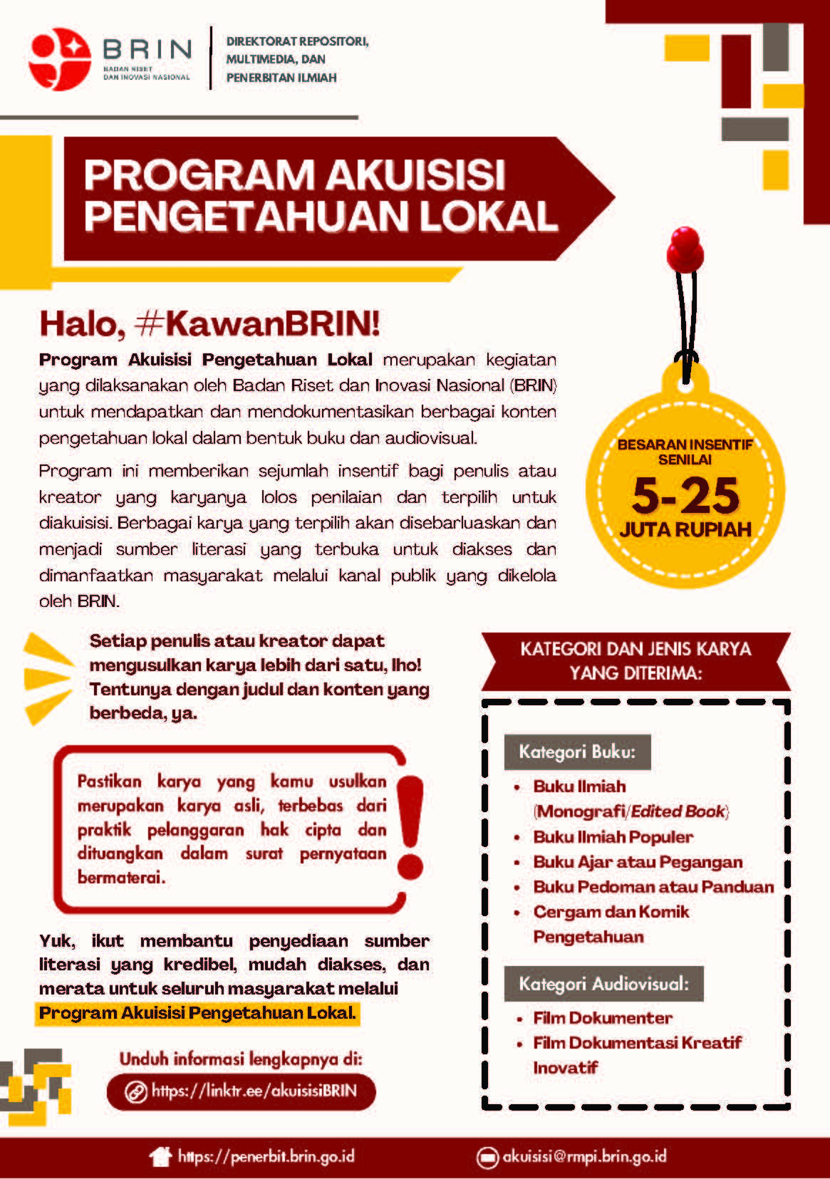
BRIN Publishing has a program named Akuisisi Pengetahuan Lokal that acquisition any of books or audiovisual content that meet our standard publication. The rights of BRIN Publishing is to disseminate and distribute all the content acquisitions for the public.
As an author you (or your employer or institution) may do the following:
All copies, print or electronic, or other use of the paper or article must include the appropriate bibliographic citation for the books